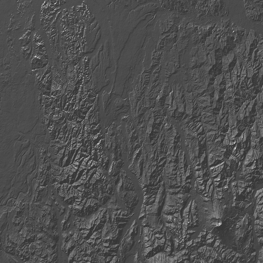
Last winter, I downloaded a square degree of elevation data from the USGS site for the National Elevation Dataset. (This is at arcsecond resolution, so the square is about 3600 by 3600 data points. This represents a rectangle roughly 100 km on a side.) This data was supposed to include Mount St. Helens, but I only rendered one part of it, and the volcano was not in the region I rendered. This evening, I decided to render the entire square degree of data. The volcano appeared in the lower right hand corner in the rendering. (I'm not certain, but I think north is to the left.) This wasn't meant to be a finished rendering; I meant this to be a guide for a more dramatic or artistic view to be put together later. But I was surprised at how handsome this top-down view turned out. One technical nicety: The rendering now has "texture mapping" (an image is used to color the mountains). However, the image used in this rendering to color the mountains is a uniform slate texture, so that aspect of the rendering isn't particularly interesting.